
Asia-Pacific SpatioTemporal Institute 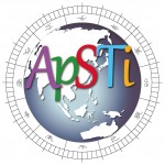
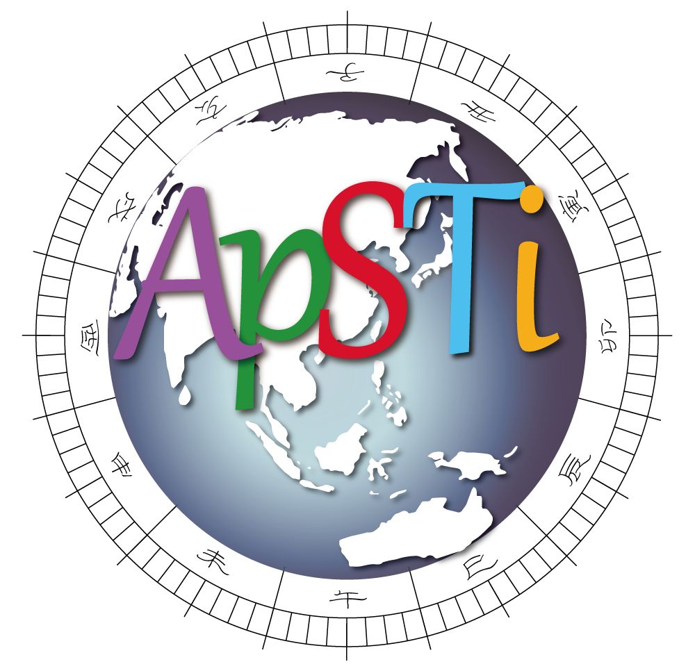
The logo symbolizes both “time” and “space”: the world map in the center, surrounded by a time scale of the Chinese sundial with twelve “Chinese hours” expressed in twelve Earthly Branches. The temporal and spatial symbols characterize the emphasis of our team that concentrates on the geographic phenomena over time and the historical events in space. “ApSTi” represents “Asia-Pacific SpatioTemporal Institute.” The “i” designated in the logo particularly highlights our Digital Humanities approaches that utilize the latest scientific technology in the Humanities and Social Sciences.
亞太時空資訊研究室的logo,包括「時間」與「空間」的象徵意涵,以世界地圖為核心,外圍繞以日晷十二地支的刻度,代表本研究團隊關注地理空間在時間向度下的變與不變、以及從空間的脈絡中觀察歷史事件的發展。ApSTi為英文全名Asia-Pacific SpatioTemporal Institute的縮寫,其中i以小寫表示,顯示本研究室高度數位化的特色,應用數位科技於人文社會科學研究。
Location
The Asia-Pacific SpatioTemporal Institute is located at the Research and Innovation-Incubation Center, National Chengchi University.
亞太時空資訊研究室位於政治大學研究暨創新育成總中心
Introduction
In 2014, the President of National Chengchi University awarded David Blundell the Top University Project in Digital Humanities hosted at the Research and Innovation-Incubation Center, National Chengchi University, Taipei. With the funding, we established Asia-Pacific SpatioTemporal Institute (ApSTi). This Institute is staffed with full-time and part-time members facilitating for innovative ways of sharing information by digital methods for visualizing spatiotemporal aspects of projects. This includes creating data banks, correspondences, managing schedules, planning workshops, coordinating meeting, arranging field research trips, Website design, and maintenance.
2014年,政治大學校長室授予卜道教授(David Blundell)頂尖大學數位人文計畫,由政大研究暨創新育成總中心執行。以此經費我們成立了亞太時空資訊研究室(ApSTi),全職與兼職成員於此工作,數位化與視覺化時空資訊,以嶄新的方式促進資訊分享,包括資料庫建立,通訊,時間表管理,工作坊計畫,會議協調,田野調查安排,網頁設計管理。
Orientation
Our purpose for developing the Asia-Pacific SpatioTemporal Institute (ApSTi) at National Chengchi University, Taipei, is to create an environment for synergies to occur between researchers. This is a Top University Project with initial funding from the National Chengchi University President’s Office and other sponsorship. It is a platform to facilitate several studies.
發展政大亞太時空研究計畫,我們的目標為在研究者之間創造一個能產生整合效果的環境。此計畫為頂尖大學計畫,由國立政治大學校長室與其他贊助者出物資助研究經費。同時,此計畫也是一個促進更多相關研究的平台。
The Institute is a home for innovative geographic information systems (GIS) based research and sharing for technical, local community, and scholarly exchange. We offer a range of project services to facilitate new ways of configuring data based on the tools of geo-referencing. From interfacing of spatial-temporal systems dynamic maps of unique information possibilities are generated. We organize workshop style activities fostering discussion of digital humanities scholarship. Guest presenters from many disciplines contribute to dialogues about techniques, challenges, and results of digital humanities research.
本組織是一個以創新的地理資訊系統研究為基礎,與在地社群學術科技交流共享的中心。我們提供一系列的計畫服務,來促進以地理座標工具為基底的資料設定的創新方法。藉由當代空間系統的交流作用,具有獨特資訊的動態地圖得以被創造出來。我們籌辦諸多活動,如同工作坊,以增進數位人文的學術探究討論。對話的講者來自多種不同領域,包含科技,面臨的挑戰,以及研究成果等。
Project themes include:
- GIS Language and Culture
- Taiwan Indigenous Innovation Arts
- Historic Tomb Survey Mapping
- Cluster Mapping of Industries
- Asia-Pacific Austronesian Navigation
- Religious Networks
計畫包括:
*GIS 語言與文化
*台灣原住民創新藝術
*歷史墓誌銘地圖
*產業聚落地圖
*亞太南島區域航海
*宗教網絡